Using Green Infrastructure to Mitigate Urban Flood Risk

The Story
With a population of more than 1.5 million people, Udon Thani province in northeastern Thailand is growing and industrializing rapidly as it positions itself as a strategic communications and commercial gateway to Indo-China. While these changes will contribute to economic growth, these shifts along with likely future temperature increases and more extreme weather patterns will also put Udon Thani at a greater risk of water scarcity, flooding, and loss of green space. Since 2013, the U.S. Army Corps of Engineers (USACE) has been providing technical assistance to help Udon Thani strengthen urban resilience to floods and droughts, with decision-making techniques that integrate planning, modeling, and stakeholder collaboration to address deep uncertainties for the future, particularly those concerning climate change and urbanization. Initially, this assistance was delivered via USAID’s Resilient Asian Cities in the Mekong (MBRACE) program.
Throughout the world, water resources planning has traditionally been “top down”. In coordination with decision-makers, engineers and planners formulate plans, model the system, create and choose among options, design infrastructure, and finally present the completed plan to the public. Like Aesop’s hare, this approach is quick out of the gate, but it inevitably gets bogged down when different stakeholder interests are at odds. This is particularly true in complex projects that cross administrative boundaries or are multi-purpose—such as Udon Thani’s efforts to develop holistic solutions to drought and flood challenges.
USACE developed a shared vision planning (SVP) approach to allow for early engagement from parties interested in such projects. For the initial SVP scoping workshops, organizers brought in agricultural sector representatives and NGOs in addition to engineers and planners from the Udon Thani municipal and provincial governments. The design and modeling team also included the landscape architectural firm estudioOCA, which specializes in green infrastructure, as well as a Princeton University public service scholar who collected data and performed site scoping. Collaboration amongst these various actors fueled the development of a user-friendly interface overlying the complex systems model to help stakeholders analyze trade-offs of different plans; of the many regional concerns, reducing flood risk rose to the top.
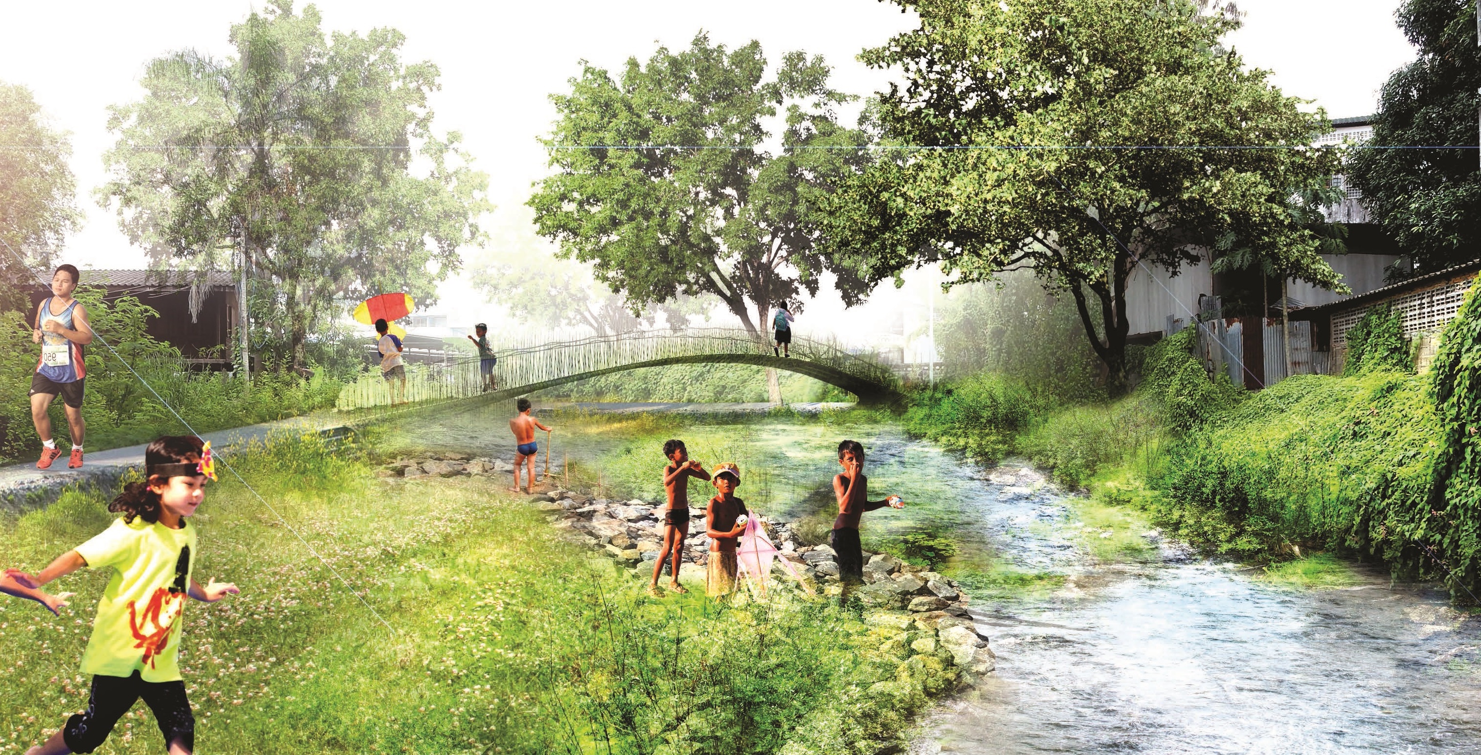
The engagement has led to action, in the form of a locally generated urban flood risk reduction master plan using green infrastructure, as well as an agreement by the Thai national government to invest $25 million in its first phase. The master plan not only provides a sustainable way to manage floods, but also supports Udon Thani’s vision of itself as a “Livable City.” The master plan begins by incrementally buying down risk within the city center, while future phases would also consider peri-urban municipalities where rapid land-use transitions are currently occurring and where storm runoff originates and later flows to the city center. Integration of flood reduction using green infrastructure in the peri-urban areas could help offset flood water releases from the existing multi-purpose reservoir and simultaneously enhance reliability of water supply during droughts.
Find More
Strategic Objective(S)
 Water Resources Management
 Governance and Financing


Highlight